

Value of Historical Disaster Imagery
Current Status of the Historical Imagery Platform
Highlights of the Historical Imagery Platform Status
| Item | Description |
|---|---|
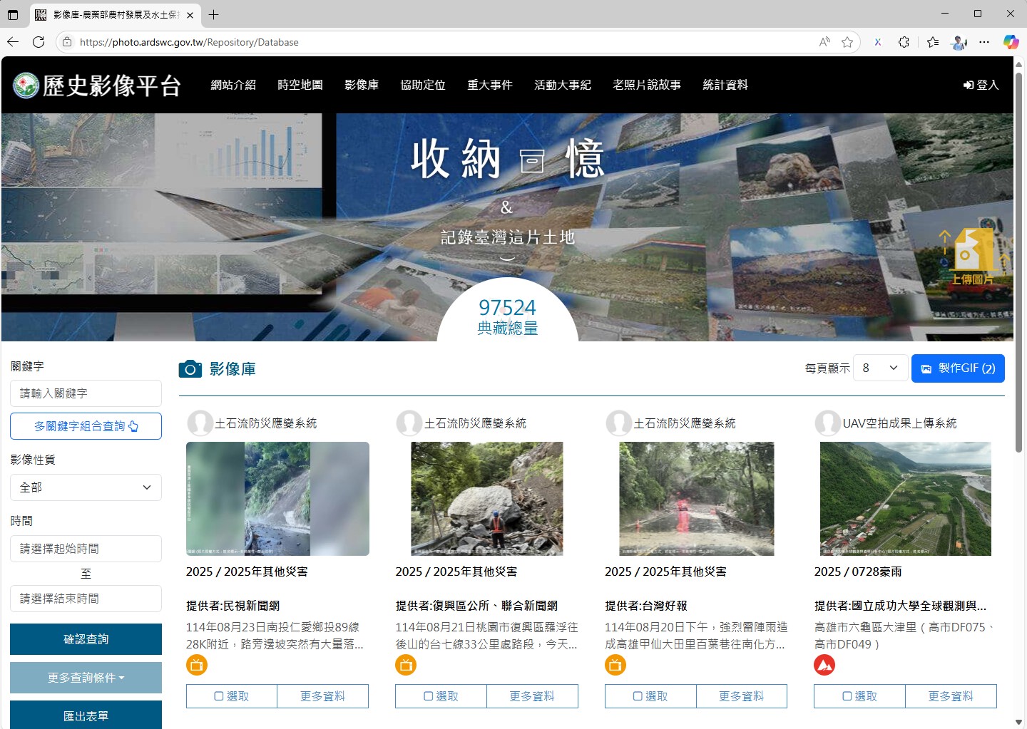
| Archived Image Count (Public) | Over 97,500 Images |
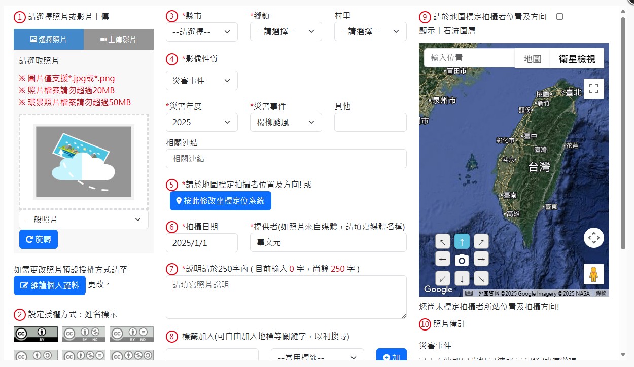
| Multi-Criteria Search | Supports searching by event, time, geographical scope, and tags (e.g., "debris flow") |
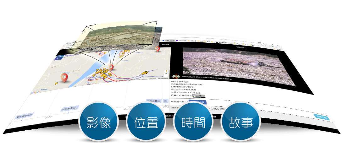
| Visualization Tools | Provides interactive search features such as spatio-temporal maps and story maps |
| Open Data Support | Offers an API for downloading image and tag data |
| Community Contribution Display | Records contributors for uploads and geotagging, and displays rankings of popular tags |
Platform Features
Related Links
Rural Development and Soil and Water Conservation Agency Historical Imagery Platform
This platform preserves photos of Taiwan's sediment-related disasters over the years. Through digital archiving, it retains the memory of these historical events, enabling future generations to learn valuable lessons and thereby enhance overall disaster preparedness.
頁面頂端